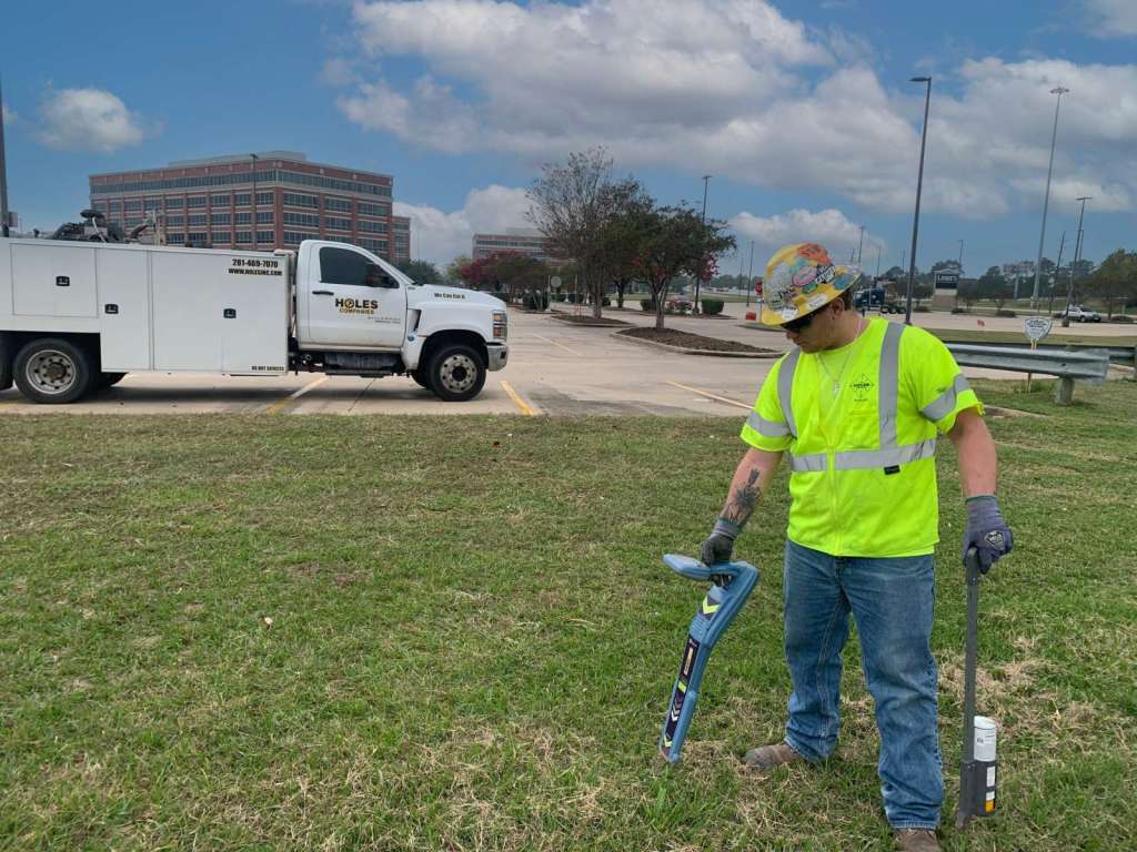
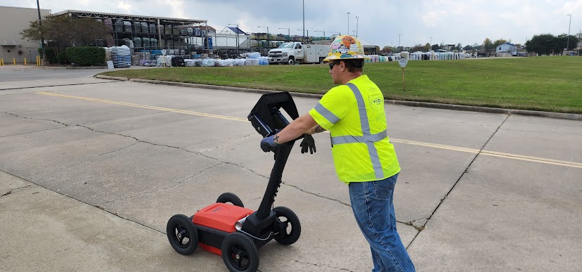
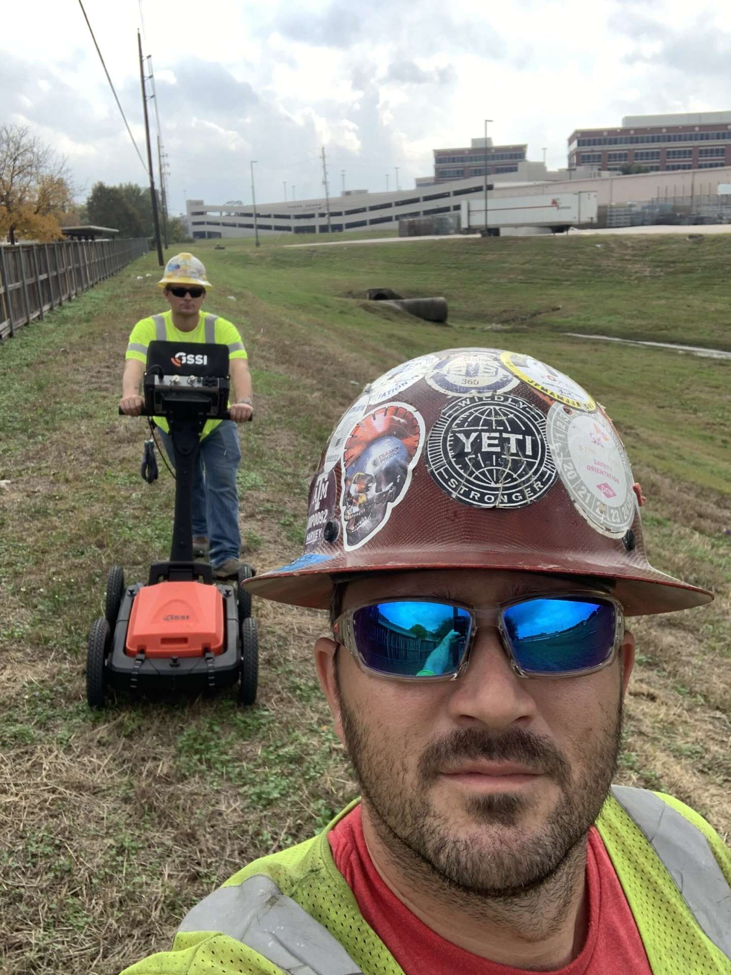
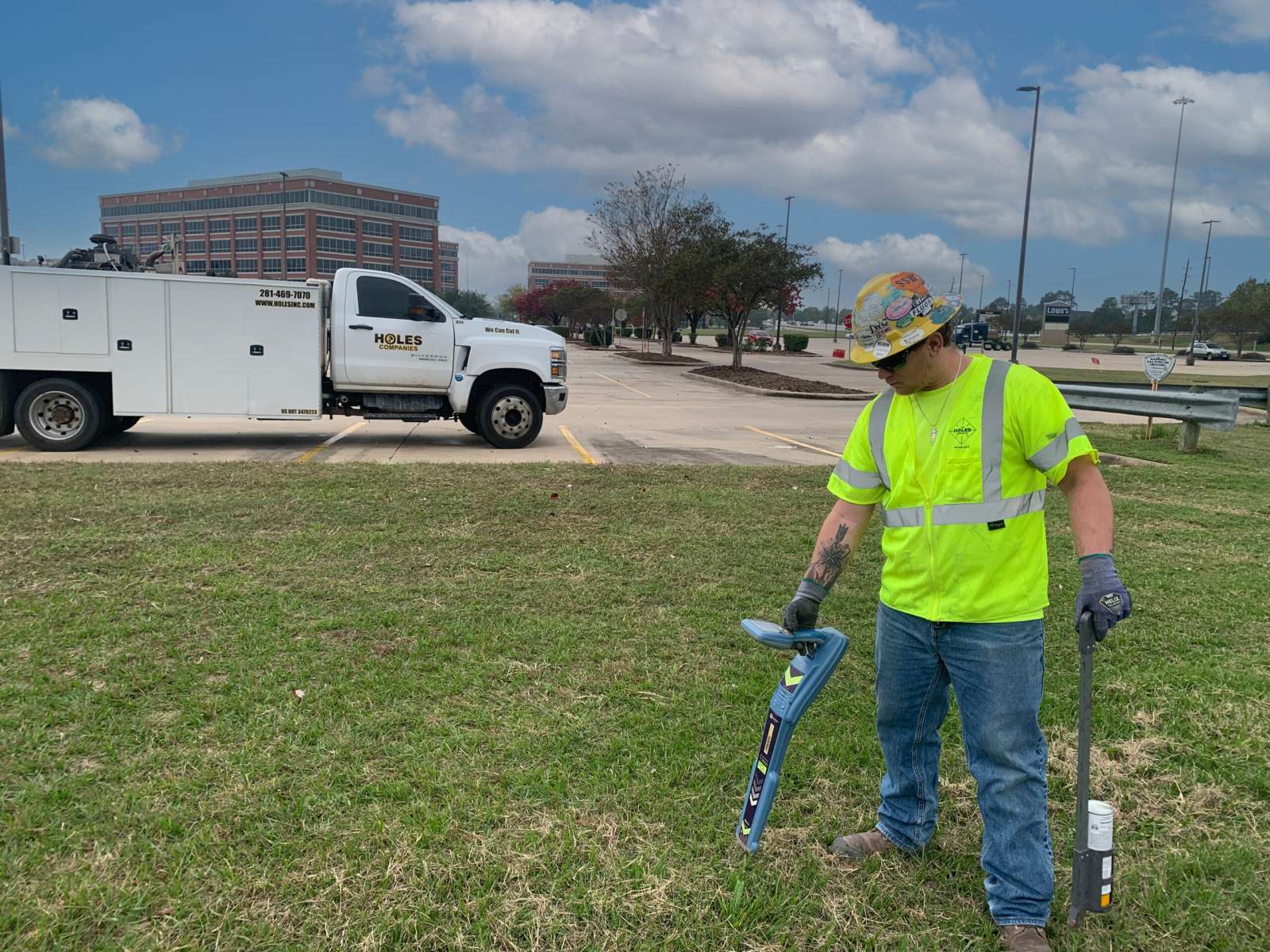
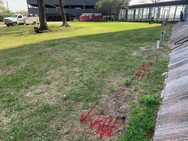
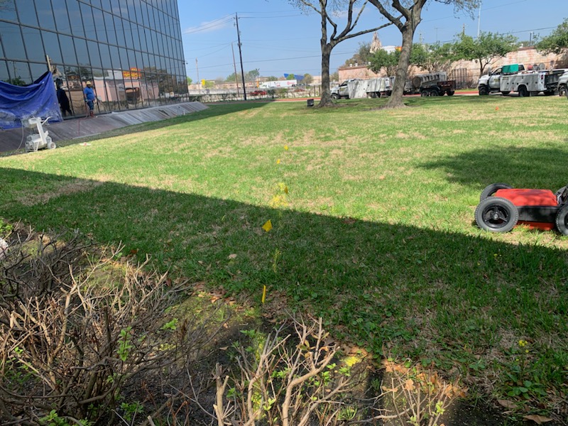
Holes Companies’ Technology Division delivers expert utility locating and Ground Penetrating Radar (GPR) services tailored for the needs of complex infrastructure projects. Our certified technicians use advanced technology to provide accurate subsurface mapping, ensuring safety and efficiency throughout your project lifecycle.
State-of-the-art
Certified Technicians & Advanced Equipment
Training / certification
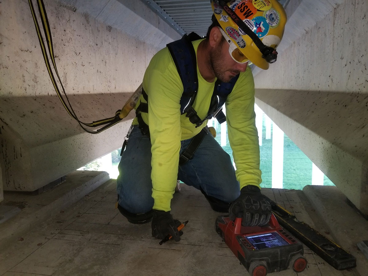
All GPR specialists are trained and certified by the Concrete Sawing and Drilling Association (CSDA).
Industry best practices
Many team members also hold NULCA certifications, demonstrating our commitment to industry best practices.
State-of-the-art equipment
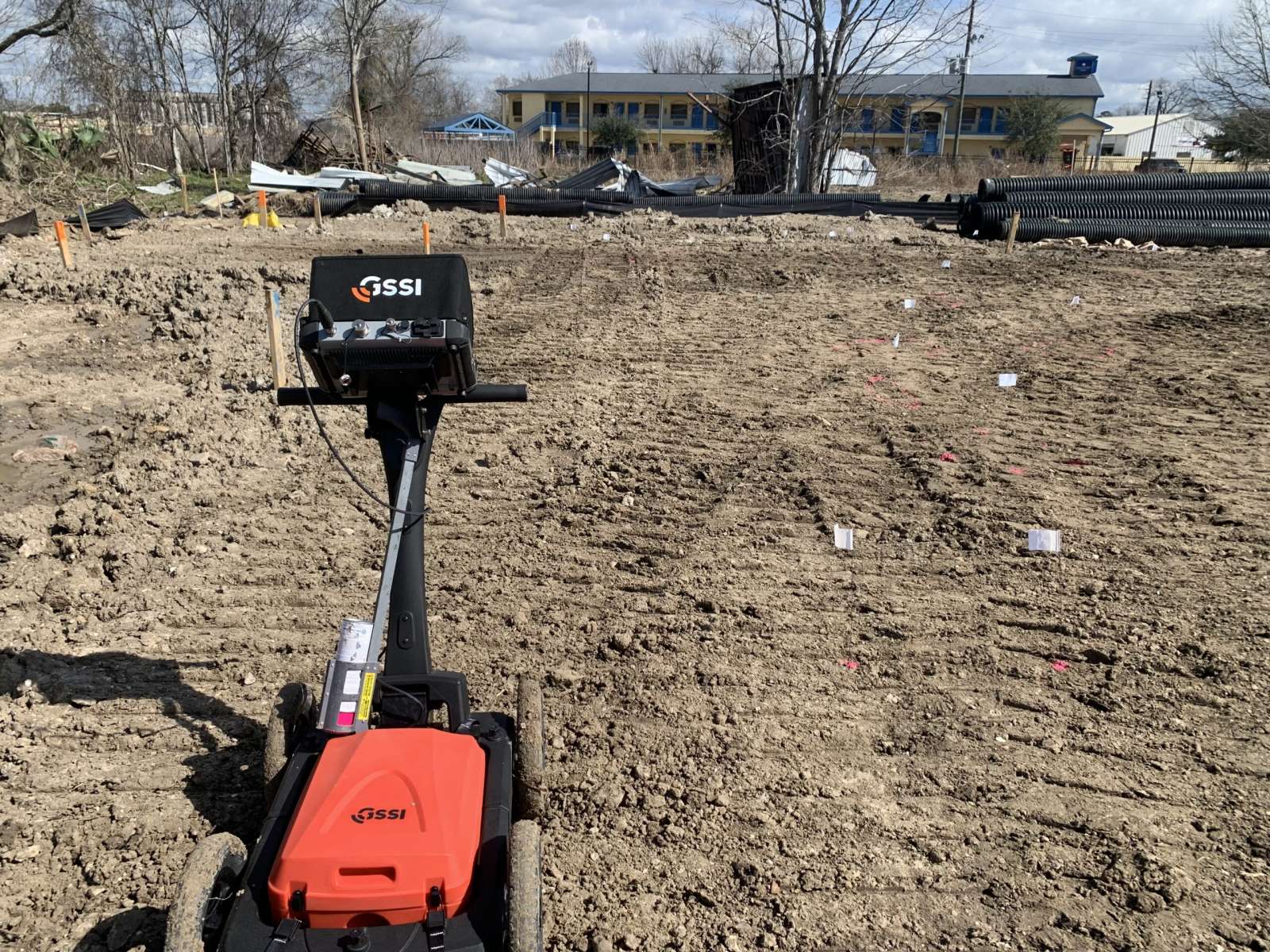
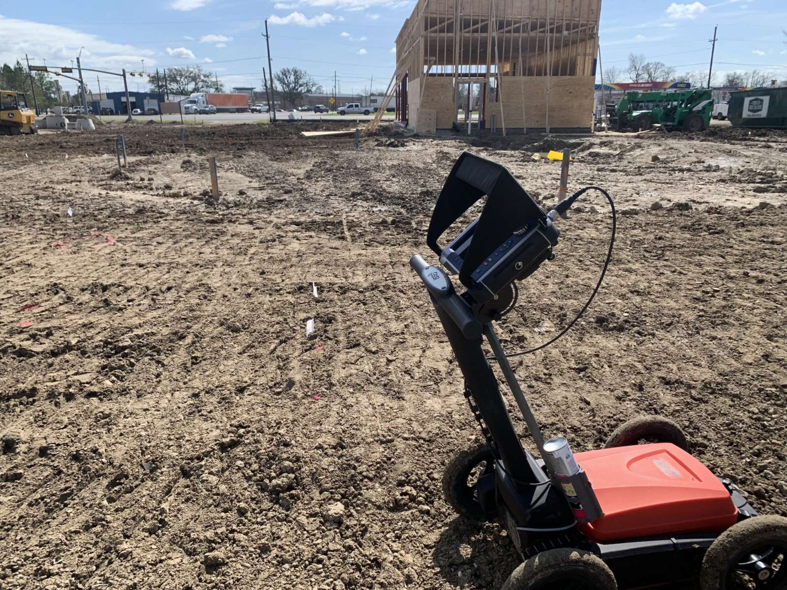
We utilize state-of-the-art equipment for precise detection and mapping of underground utilities and structures.
Comprehensive Subsurface Detection Capabilities
Identify and map building foundations, structural voids, piles, and pile caps.
How does Holes’s utility locating process integrate with our pre-excavation workflow to ensure we meet critical project timelines?
Holes Companies utility locating process integrates directly into the pre-excavation workflow by providing timely, accurate subsurface information that allows construction activities to proceed without delays.
Our team coordinates closely with your project managers and schedulers to ensure all locating activities are completed ahead of excavation, reducing the risk of unforeseen conflicts.
We begin by reviewing your project scope and scheduled excavation areas, then dispatch certified technicians to perform comprehensive surface and subsurface scans.
The findings are documented clearly and delivered promptly, enabling your team to validate design assumptions, adjust excavation plans if necessary, and maintain compliance with safety and regulatory requirements.
This proactive approach minimizes the potential for utility strikes, change orders, or downtime—ultimately supporting your ability to meet critical project deadlines with confidence.
Is scanning necessary before cutting or coring?
Certainly. Hitting a conduit or post-tension cable can halt work, cause delays, and result in costly repairs. Scanning beforehand ensures safety and prevents these issues.
Do you scan only concrete slabs or also walls?
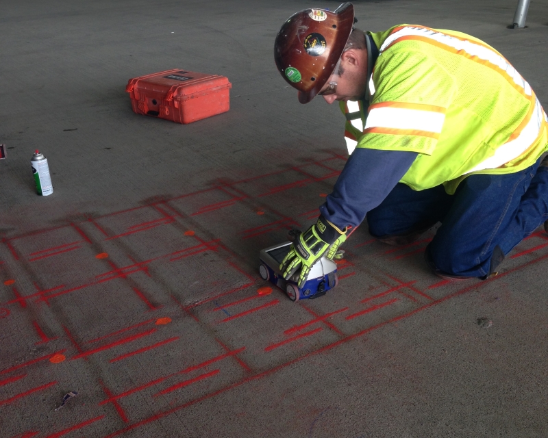
We offer scanning services for foundations, walls, decks, and ceilings. Our GPR technology precisely locates embedded objects in vertical and overhead surfaces as accurately as it does in slabs.
Are reports provided for every scan?
Although we suggest customizable detailed reports that can provide you and your customer with documentation for future projects, on-slab markings can be adequate for pre-coring and pre-cutting tasks.
Can you provide specific case studies or data that quantify the time and cost savings previous clients experienced by utilizing your GPR services?
Due to our expertise, we provided 50% savings for our client for this particular Galveston Project.
What is your accuracy rate for identifying non-metallic utility lines, and how does that data help us mitigate risk on this specific job site?
I would like to say that we strive for 100% accuracy, but we’re limited to the geophysical makeup of the material we are scanning/locating through.
Things this data helps for risk-mitigations:
Confirming safe anchor/coring paths
Planning excavation without utility conflict
Protecting irrigation/drainage that could cause washout under slabs
Avoid hitting private lateral lines not covered by 811
Prevent unexpected shutdowns that cascade into crew downtime
Engineers can redesign conflict areas
Crews are given safe dig zones
Work sequencing improvements
Risks are documented in pre-task planning
Stakeholders understand subsurface constraints
Select safe coring locations
Plan anchor placement
Avoid cutting irrigation or drainage networks
Prevent PT tendon conflict (often near non-metal conduit runs
What kind of documentation or reporting do you provide post-scan that an estimator can use for risk assessment and project planning?
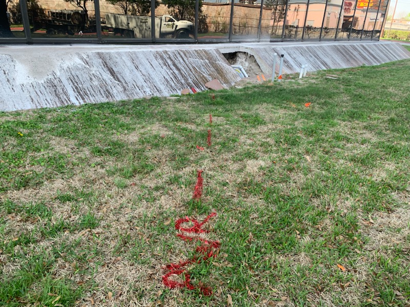
The documentation/reporting we can provide is determined by what type of scanning is being done. We can customize the deliverables to the client’s needs whether it be marked on the ground, or a computer-generated 3D model that could be overlayed onto Google Earth(subsurface). 3D models can also be generated for the area of concrete scanned.
Solid results
Real world examples
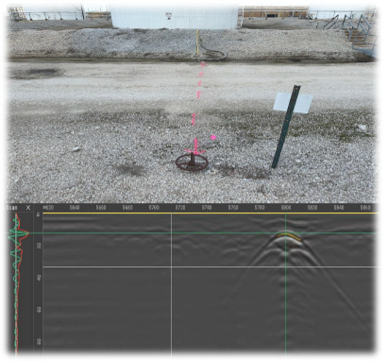
The photo shows a report from the Plant in Galveston, TX. The customer planned to grade and resurface a road approximately 925′ by 30′. We performed utility locating, GPR scanning for subsurface utilities, and collected data to generate a 2D report identifying all anomalies in the conflict area.
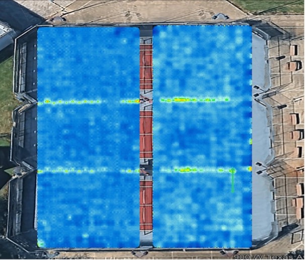
Facilities Sources hired us to use Subsurface GPR on three tennis courts to check for subsurface voids and overlay 3D data onto Google Earth. No voids were detected, but we did identify the conduit powering the lighting system (The green/yellow lines indicate the conduit powering the lighting system).
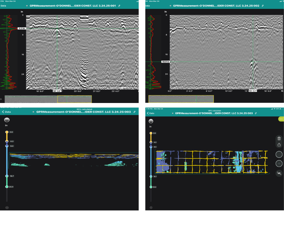
Our client hired us to utilize GPR to locate concrete beams under their slab to identify the areas they need to sawcut to install a new concrete beam to increase the structural integrity of the building. The results of the scan showed the existing concrete beams to run in the opposite direction that the customer anticipated, which then resulted in the structural engineer deciding the new concrete beam that was planned was no longer needed. 3D GPR data was used on this project and the results in the report ended up saving our customer time and money.